Tropical Storm Surigae set to enter PAR on September 24
Once Tropical Storm Surigae enters the Philippine Area of Responsibility, it will be given the local name Queenie

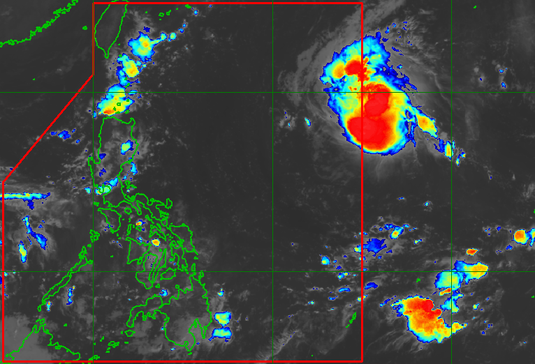
Once Tropical Storm Surigae enters the Philippine Area of Responsibility, it will be given the local name Queenie

While Tropical Storm Queenie (Surigae) won’t directly affect the Philippines, its trough or extension could trigger scattered rain and thunderstorms

Tropical Storm Kiyapo (Noul) is bringing significant rain to Northern Luzon, as well as scattered rain and thunderstorms to much of Central Luzon and even Southern Luzon, on Friday, July 24

Tropical Storm Kiyapo (Noul) is projected to pass very close to or make landfall in Cagayan’s Babuyan Islands on Friday, July 24
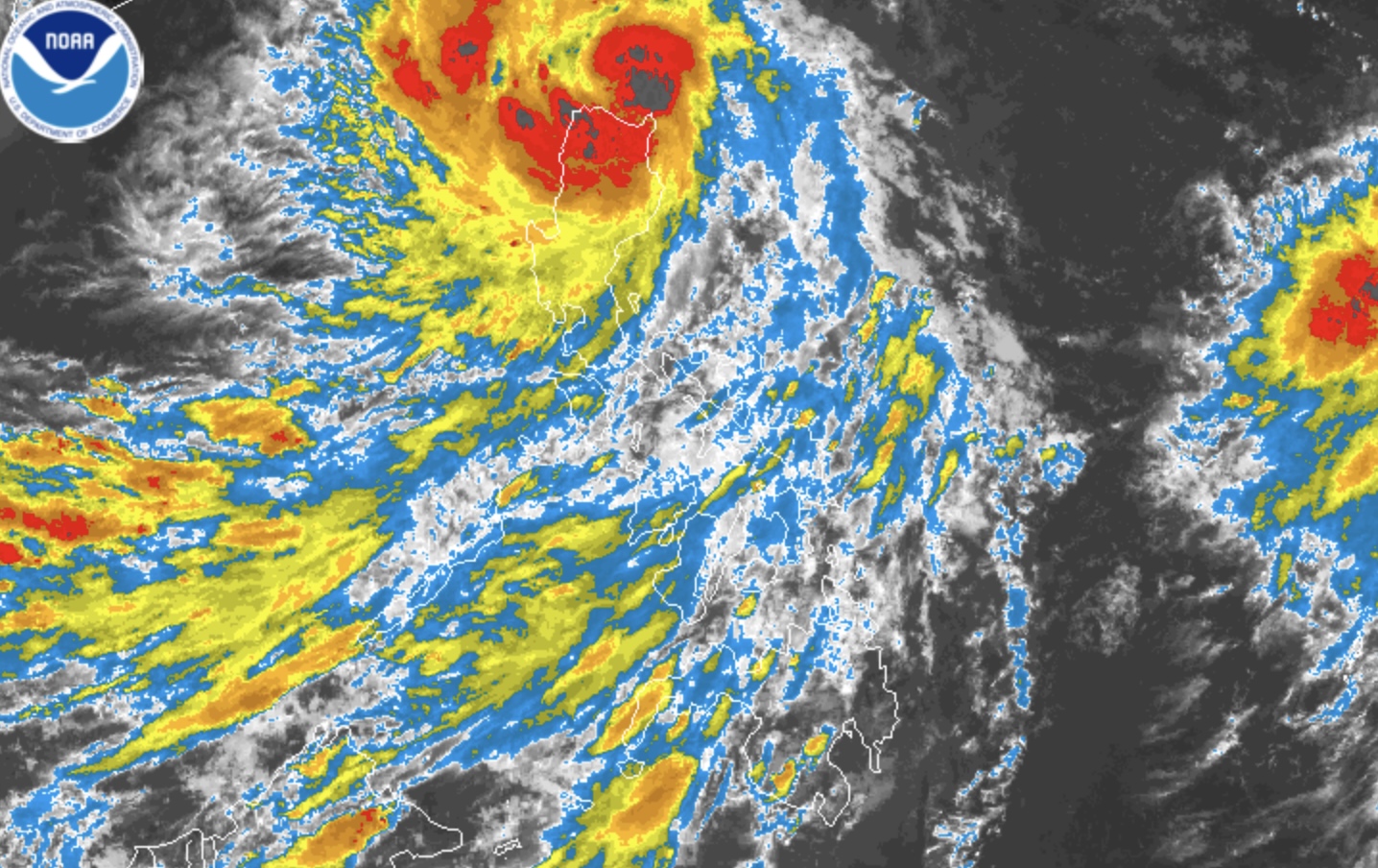
Tropical Storm Kiyapo (Noul) hits land with maximum sustained winds of 85 km/h on Friday afternoon, July 24
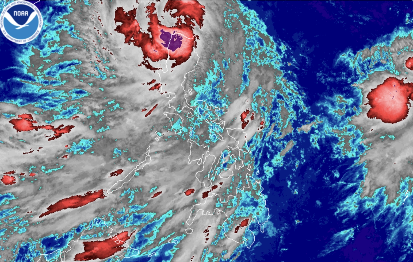
Three islands in the Babuyan group are placed under Signal No. 3 at 8 pm on Friday, July 24, due to Severe Tropical Storm Kiyapo (Noul)
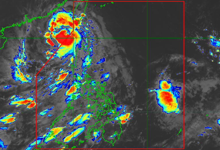
Typhoon Kiyapo (Noul) can still trigger heavy rain and strong winds in portions of Northern Luzon on Saturday, July 25, even though it is already outside the Philippine Area of Responsibility

Typhoon Kiyapo (Noul) is heading for China, while the southwest monsoon is still affecting parts of the Philippines on Saturday, July 25

PAGASA is monitoring a low pressure area inside the Philippine Area of Responsibility and another LPA outside PAR on Wednesday, July 29

The low pressure area is 865 kilometers east of southeastern Luzon as of 8 pm on Friday, July 31