FAST FACTS: What is a Super El Niño, and what should we expect from it?
This Super El Niño is expected to bring prolonged dry spells, drought, and water shortages until April 2027

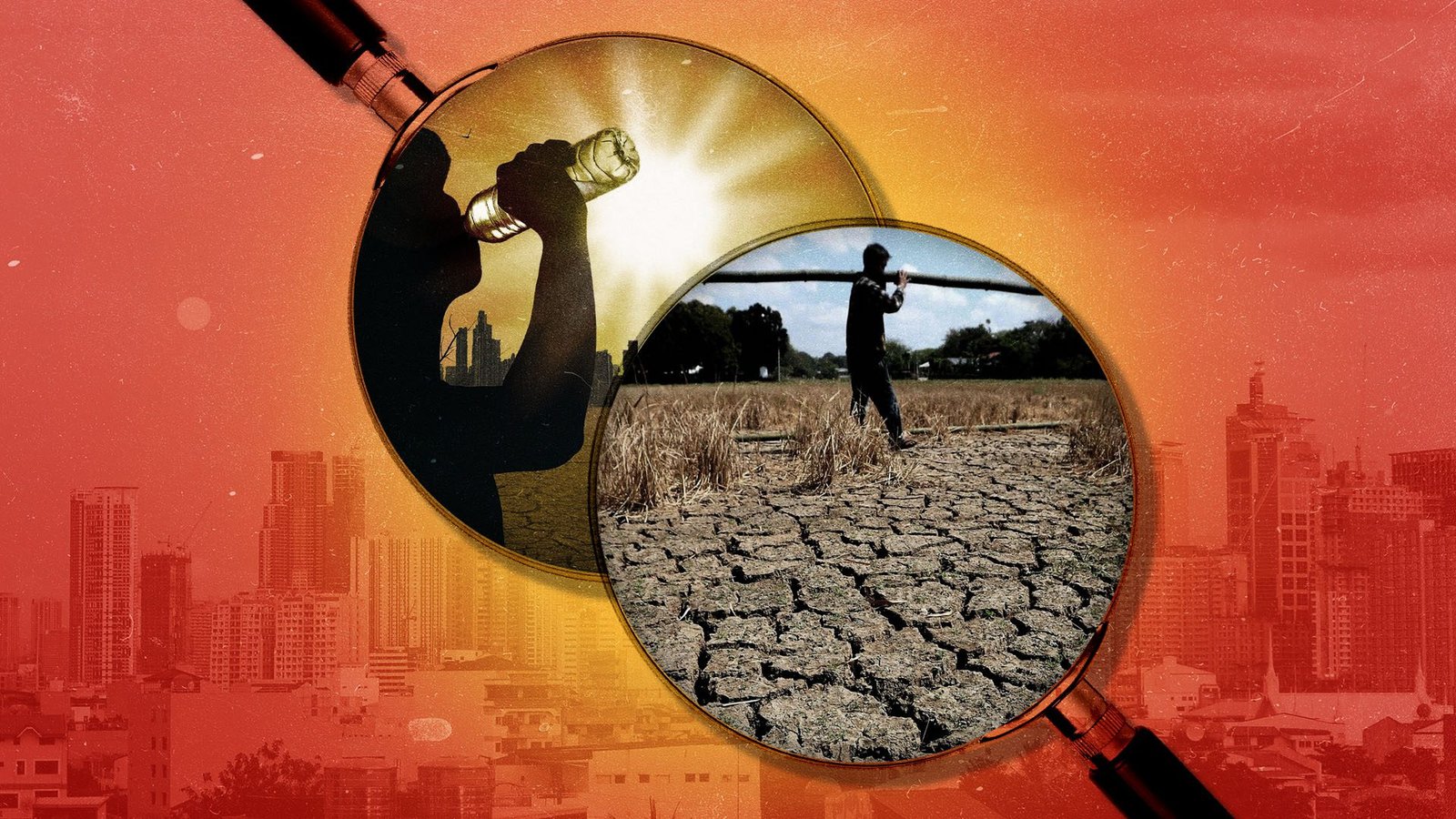
This Super El Niño is expected to bring prolonged dry spells, drought, and water shortages until April 2027

Why should citizens be forced to find the pieces of the puzzle instead of the government presenting the entire picture in the first place?
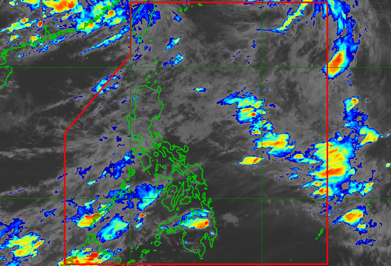
‘Hindi naman ito considered pa as kasinglakas ng mga naging pag-ulan natin nitong mga nagdaang linggo dahil sa malakas na southwest monsoon,’ says PAGASA Weather Specialist Benison Estareja

(1st UPDATE) PAGASA says the low pressure area has a ‘medium’ chance of developing into a tropical depression, but it is still the southwest monsoon or ‘habagat’ that is mainly affecting Luzon and Western Visayas

Tropical Depression Pilandok has no direct effect on the country. Meanwhile, no more areas are experiencing heavy to intense rain from the southwest monsoon.

The southwest monsoon is bringing moderate to heavy rain to Batanes, Ilocos Norte, Ilocos Sur, and Zambales. Haze due to forest fires from Kalimantan, Indonesia, is also affecting the western portions of Visayas, Mimaropa, and Mindanao.

The enhanced southwest monsoon is affecting Luzon and the Visayas, while the haze from Indonesia is currently affecting western sections of the Visayas and Mindanao

‘El Niño is being supersized before our eyes. The science leaves no room for doubt: The planet is in uncharted waters, and those waters are heating up,’ says United Nations chief Antonio Guterres
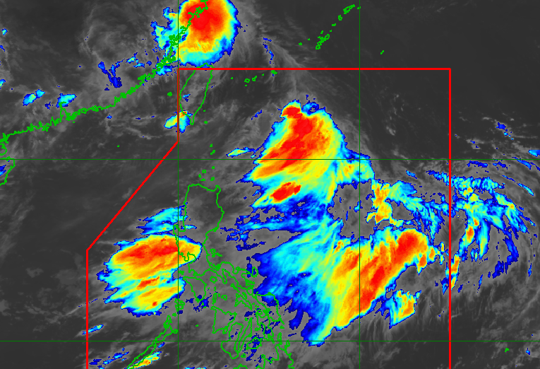
The low pressure area inside the Philippine Area of Responsibility is last located 720 kilometers east of Itbayat, Batanes
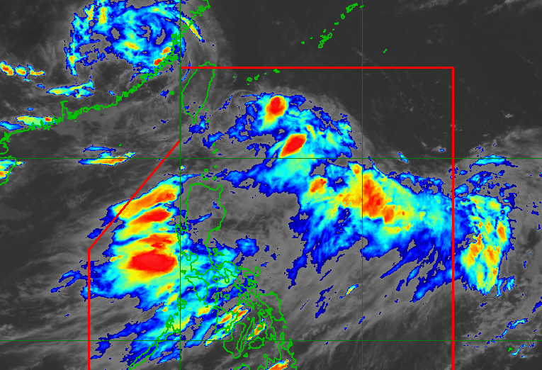
A low pressure area, which is enhancing the southwest monsoon or habagat, is last located 560 kilometers east northeast of Itbayat, Batanes. Another LPA is being monitored outside the Philippine Area of Responsibility.